


In this guest post, Vanessa Trout, Executive Director of the White River Conservation District, describes how rural conservation districts in Colorado are using drone technology to support agriculture, watershed management, and land stewardship. Her article explores how practical drone applications can help small communities monitor and manage natural resources more efficiently. DRONELIFE does not accept or make payment for guest posts.
All images courtesy of Vanessa Trout and Tristan McGee, used with permission.
How a Rural Colorado Conservation District Is Using Drones to Bridge Agriculture, Watersheds, and Wildlife
By Vanessa Trout, Executive Director, White River Conservation District
In northwest Colorado, drones are becoming more than just a technology trend, they are emerging as one of the most practical conservation tools available to rural communities managing vast landscapes with limited resources.
The White River and Douglas Creek Conservation Districts, based in Meeker, Colorado, are developing a Drone Services Program aimed at helping agricultural producers, watershed groups, and land managers make faster, safer, and more informed decisions across working lands and natural resource projects.
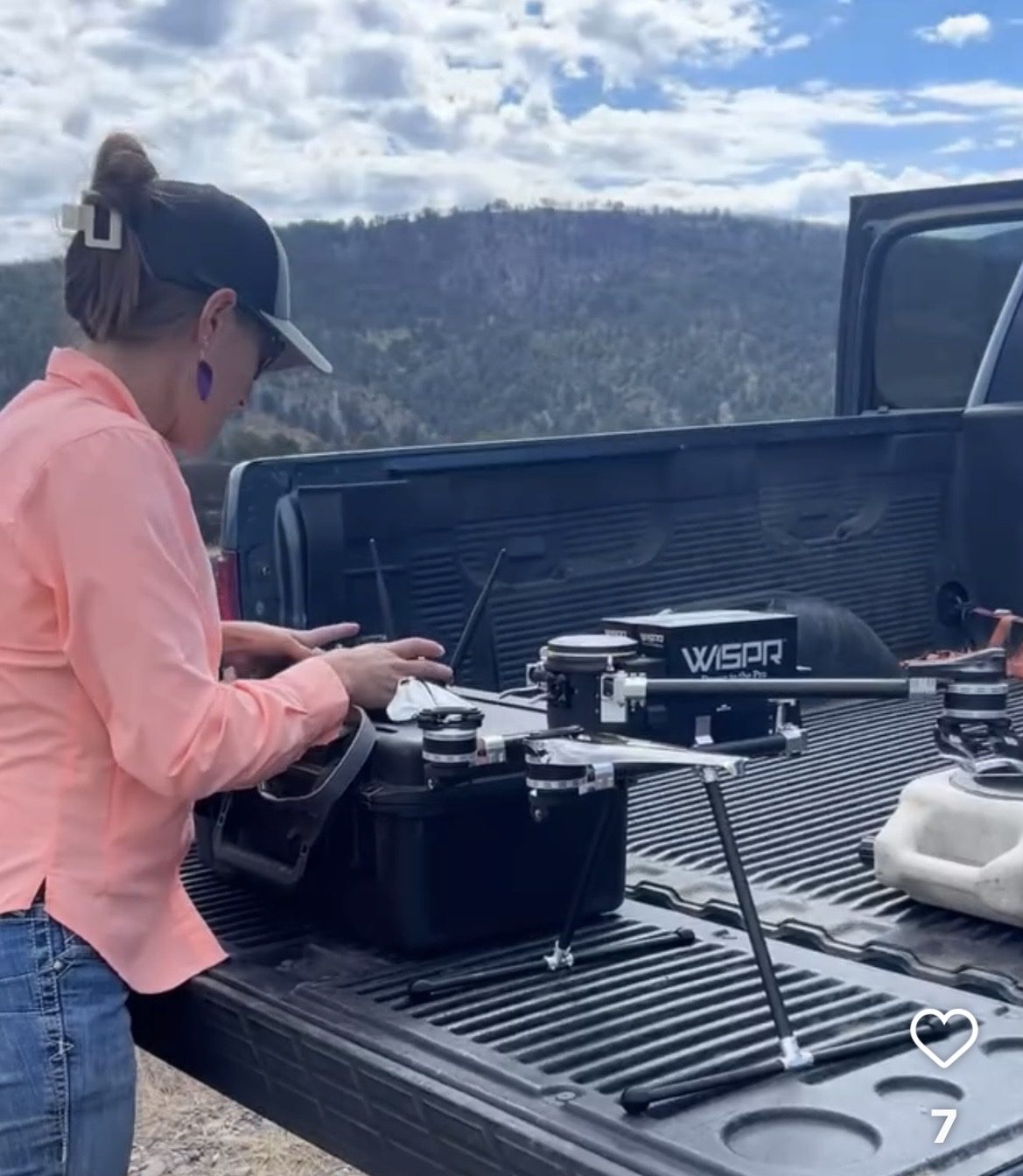
But unlike many commercial drone programs focused on media production or real estate photography, this e ort is taking a diferent approach by using drones as a tool for locally led conservation.
Drones for the “Unseen” Rural Infrastructure
In the arid West, some of the most important infrastructure is also the hardest to monitor like irrigation diversions, streambanks, remote water developments, erosion-prone roads, wildfire-impacted watersheds, and thousands of acres of rangeland.
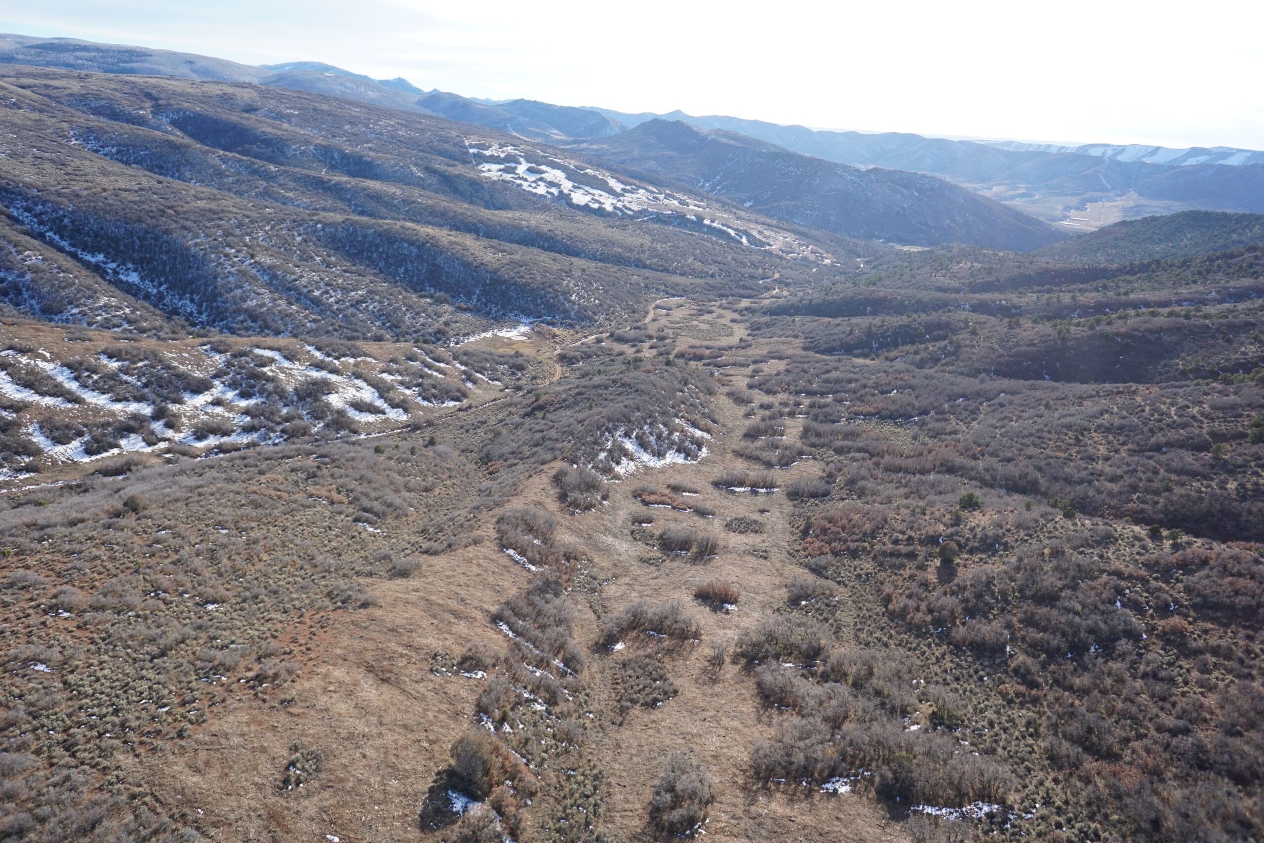
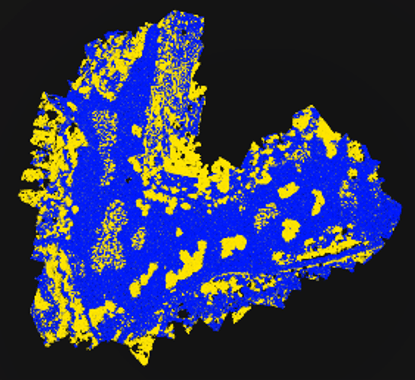
Many of these landscapes are difficult to access, expensive to survey, and constantly changing due to drought, floods, grazing pressure, wildfire, and invasive species. The Districts saw an opportunity to use drone technology to close that gap. Their program is designed to provide high-resolution aerial mapping, orthomosaics, terrain modeling, infrastructure inspections, and future multispectral analysis to support conservation planning and resource management.
The vision is not simply to “fly drones,” but to create affordable technical capacity for rural landowners who traditionally have limited access to these technologies.
Conservation Meets Practical Application
The Districts identified an immediate need for drone-based services in several areas: irrigation infrastructure assessments, riparian and watershed monitoring, noxious weed mapping, post-fire recovery, livestock water planning, vegetation health assessments, and restoration project monitoring.
According to Drone Industry Insights research, Agriculture rates as one of the current top three drone industries. For agricultural producers, this can mean identifying erosion before it becomes a major infrastructure problem or documenting pasture conditions over time.For watershed groups, it means being able to monitor stream restoration projects with repeatable aerial imagery and terrain data. For conservation planners, drones create a way to rapidly gather data across landscapes that would otherwise require extensive field time.
A Different Kind of Drone Program
One of the more interesting aspects of the effort is that the Districts intentionally do not want to compete with local photographers or media companies. Instead, they are positioning the program around technical conservation services: mapping, monitoring, GIS support and natural resource analysis.
That distinction matters. Private drone operators can produce stunning visuals.
Conservation districts bring something different: trusted relationships with landowners, technical understanding of soil and water conservation, experience with watershed planning, and the ability to connect aerial data directly to on-the-ground management decisions. The program is being built as a hybrid model: partially grant-funded, partially fee-for-service, and partially supported through partnerships with agencies and watershed initiatives.
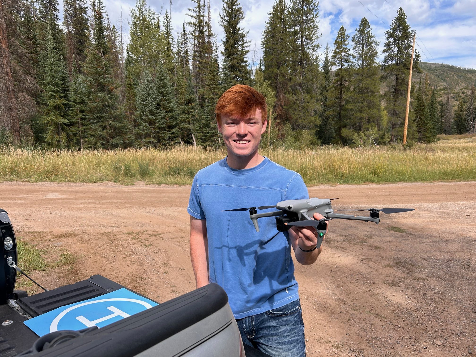
The long-term goal is sustainability, not as a standalone tech company, but as a self-supporting conservation tool embedded within existing district programs.
Why Rural Communities May Be the Next Frontier for Drone Innovation
While much of the drone industry conversation focuses on urban delivery systems, inspection markets, or AI-powered automation, rural conservation districts may quietly represent one of the most impactful applications of drone technology. Across the West, land managers are facing: increasing drought pressure, aging irrigation infrastructure, larger wildfires, invasive species expansion, and growing demands for watershed resilience.
At the same time, many local governments and conservation organizations operate with small staffs and limited technical capacity. Drones offer a rare combination of:affordability, scalability, speed, and actionable data. For organizations like the White River and Douglas Creek Conservation Districts, the technology is not replacing field knowledge, it is amplifying it.
Looking Ahead
The Districts are currently developing service packages focused on: orthomosaic mapping, Infrastructure inspections, conservation project monitoring, and future multispectral analysis for vegetation and watershed health. As the program evolves, the team sees opportunities to support larger regional efforts related to Integrated Stream Management Planning, watershed restoration, wildfire resilience, and agricultural sustainability.
In a rural county better known for cattle, hay fields, and river corridors than cutting-edge technology, drones are becoming an unexpected but powerful conservation tool. And in the process, they may offer a model for how small local organizations can use emerging technology to solve very practical land and water challenges.
 Vanessa Trout is the Executive Director and Forestry Program Coordinator of the White River and Douglas Creek Conservation Districts leading conservation initiatives, grant administration, partnership development, strategic planning, and natural resource programs. She brings over 25 years of prior experience in business operations, viticulture, management, and international agricultural experience.
Read more:

