


Integrated platform cuts damage assessment time from months to 10 days following Super Typhoon Sinlaku
FlyGuys and disaster intelligence company TerraFort have announced the results of a partnership that combines drone-based aerial data collection with AI-powered damage assessment. The companies say the approach helped complete a large-scale post-disaster assessment in the Northern Mariana Islands just 10 days after Super Typhoon Sinlaku, allowing relief organizations and government agencies to begin recovery efforts much sooner than traditional methods.
The collaboration pairs FlyGuys’ nationwide network of more than 20,000 drone pilots with TerraFort’s AI platform, which analyzes aerial imagery to create FEMA-ready damage assessments for emergency managers, insurers, and relief organizations.
Rapid Response After a Category 5 Storm
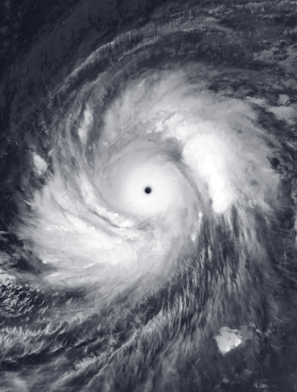
The partnership was tested after Super Typhoon Sinlaku struck Saipan and Tinian in the Northern Mariana Islands. According to the companies, the Category 5 storm brought sustained winds above 180 mph, damaged infrastructure, caused widespread power outages, destroyed up to 60% of livestock, and triggered severe flooding.
Despite disrupted transportation and communications, FlyGuys deployed drone crews within days of the storm. The pilots collected approximately one terabyte of aerial imagery, which TerraFort’s AI platform analyzed to identify damaged structures.
Within 10 days of landfall, the assessment covered 4,135 residential structures. The analysis identified:
- 991 destroyed homes
- 2,267 homes with major damage
- 739 homes with minor damage
- 138 affected homes
The companies noted that the actual extent of damage was likely greater.
The assessment data was shared with the American Red Cross and local government agencies. According to the companies, the Red Cross used the information to provide supplemental assistance grants to homeowners whose homes were destroyed or suffered major damage. Local officials also used the data to support infrastructure planning and FEMA disaster declaration efforts.
FlyGuys and TerraFort said that completing a comparable assessment through traditional methods would typically require one to two months.
Building an Automated Disaster Assessment Workflow
Following the deployment, the companies developed a more integrated workflow. Users can now select FlyGuys pilots directly through the TerraFort platform. The companies say the system removes manual coordination and allows qualifying weather events to automatically trigger aerial image collection and AI-powered damage assessments.
“We know how difficult it can be to get humans on the ground in devastated areas where infrastructure is nonfunctional or physical barriers restrict access. But time is of the essence, especially where people have lost their homes or any semblance of safety,” said Grady Joseph, CEO of TerraFort. “Enhancing TerraFort’s capabilities with FlyGuys has improved our speed, reach, and ability to get the data that matters to emergency aid agencies.”
Joe Stough, CEO of FlyGuys, said the partnership demonstrates the value of combining aerial data collection with AI analysis.
“FlyGuys’ pilot network exists for moments like this, where getting eyes on the ground to capture critical data is the priority,” said Stough. “This partnership is a successful example of what happens when physical infrastructure meets AI at scale. It’s not just about flying drones. We’re building the data pipeline that lets platforms like TerraFort turn raw imagery into decisions in days instead of months.”
TerraFort currently works with county and state government agencies across the United States. The company said it is in discussions to expand into additional states. As that footprint grows, FlyGuys said its pilot network is positioned to provide rapid aerial data collection wherever future disasters occur.
Read more:

Miriam McNabb is the Editor-in-Chief of DRONELIFE and CEO of JobForDrones, a professional drone services marketplace, and a fascinated observer of the emerging drone industry and the regulatory environment for drones. Miriam has penned over 3,000 articles focused on the commercial drone space and is an international speaker and recognized figure in the industry. Miriam has a degree from the University of Chicago and over 20 years of experience in high tech sales and marketing for new technologies.
For drone industry consulting or writing, Email Miriam.
TWITTER:@spaldingbarker
Subscribe to DroneLife here.

