


The new LeoSight AirData integration streams real-time flight data, telemetry, and operational insights from AirData directly into LeoCommand, giving dispatchers and field teams shared visibility across drone and DFR operations.
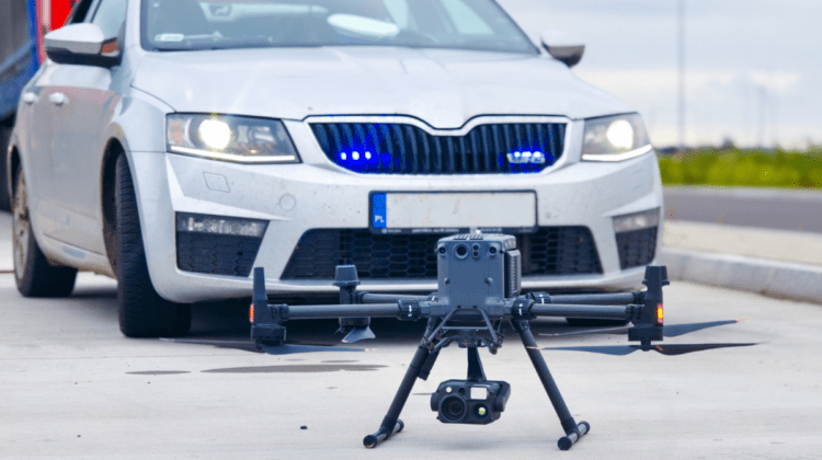
LeoSight, a unified command software platform for public safety, has integrated with AirData UAV, one of the most widely deployed commercial drone operations platforms. The Dallas company says the LeoSight AirData integration brings real-time drone telemetry, flight data, and operational insights into LeoSight’s LeoCommand, letting agencies coordinate aerial operations alongside other live response inputs.
AirData supports more than 62 million logged flights and is used by hundreds of thousands of pilots and fleet operators across more than 200 countries. The platform recently joined the Commercial Drone Alliance to help shape compliance infrastructure ahead of the FAA’s anticipated Part 108 BVLOS rule, as Dronelife reported in May.

What the AirData Platform Brings to the Integration
AirData is a flight-data and fleet-management platform built around automated capture of every flight, with maintenance tracking, compliance reporting, and crash-prevention analytics layered on top. The system pulls log data from supported flight apps, including DJI Pilot, DJI Fly, Autel Explorer, Skydio, DroneDeploy, Litchi, UgCS, and others, and consolidates it into a single 360-degree view of aircraft, batteries, pilots, and missions.
Operators use the platform to set alert thresholds, surface early signals of performance anomalies, generate customized operational and regulatory reports, and track service history at the airframe and battery level. AirData also supports live streaming and skills and certification tracking for pilots. Plans scale from early-stage programs through enterprise fleets with complex compliance needs.
Why the LeoSight AirData Integration Matters for DFR
Mutual customers can stream that AirData data straight into LeoCommand, putting aerial intelligence in front of dispatchers, command staff, and field personnel at the same time. The goal is to move beyond isolated drone operations and into a coordinated response across daily calls, large-scale incidents, and multi-agency events.
“AirData gives drone teams the visibility and intelligence to run safe, efficient operations at scale,” said Eran Steiner, CEO and Founder of AirData UAV. “Our integration with LeoSight brings two strong platforms together – AirData’s flight data and analytics alongside LeoCommand’s coordination tools. For our mutual customers, that means sharper situational awareness and tighter coordination across pilots, teams, and decision-makers, without changing how they fly.”
Coordinating Drone, Dispatch, and Field Teams
Drone as a First Responder programs continue to expand in public safety, but agencies say the value of drone data depends on how quickly and clearly it reaches the people making decisions. LeoSight pitches the AirData feed as another live input that helps dispatchers, officers, supervisors, and partner agencies operate as a single team.
“Public safety professionals are collecting more information than ever. The challenge is turning that information into shared understanding so dispatchers, officers, supervisors, and partner agencies can respond as one team,” said Mark Wood, CEO of LeoSight. “AirData and LeoCommand work together to give agencies real-time visibility into drone operations. By putting that information in front of dispatchers, command staff, and field personnel, teams can communicate more effectively and coordinate a faster response when it matters most.”
The integration joins LeoSight’s growing ecosystem, which already spans drones and DFR, automated license plate recognition, and other real-time data sources used by law enforcement, fire, EMS, and emergency management.
More information is available at LeoSight and AirData UAV.
Read more:

Ian McNabb is a journalist focusing on drone technology and lifestyle content at Dronelife. He is based between Boston and NH and, when not writing, enjoys hiking and Boston area sports.