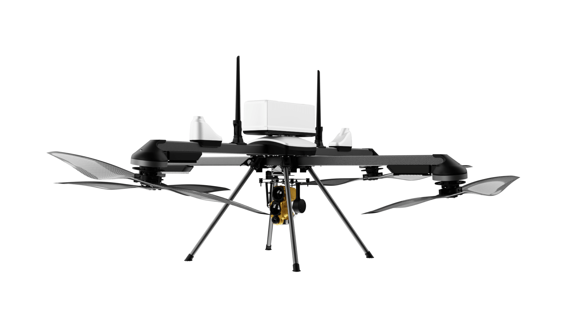
Operation DRONAGIRI leverages drones and geospatial technology to improve decision-making and foster innovation.
India has launched Operation DRONAGIRI, a groundbreaking pilot project under the National Geospatial Policy 2022. The initiative aims to enhance collaboration and innovation across industries by integrating geospatial data and technology. Sectors like agriculture, logistics, livelihoods, and transport are expected to benefit significantly.
The first phase of Operation DRONAGIRI will take place in Uttar Pradesh, Haryana, Assam, Andhra Pradesh, and Maharashtra. These regions will host pilot projects that demonstrate real-world applications of geospatial technologies. A key component of the initiative is the Integrated Geospatial Data Sharing Interface (GDI). This platform will enable stakeholders to access and share geospatial data seamlessly, unlocking new opportunities for business and public service.
ideaForge Provides Critical Data for Operation DRONAGIRI
Mumbai-based ideaForge Technology Limited, a prominent provider of unmanned aircraft systems (UAS), will supply high-resolution drone data for the project. This data will support government agencies, startups, and businesses in making informed decisions and achieving better project outcomes.
“ideaForge is proud to announce its role as a data provider for Operation DRONAGIRI, a pioneering pilot project launched under the National Geospatial Policy 2022,” the company said in its announcement. The partnership emphasizes the potential of drone technology to support sustainable development efforts.
The use of drones for high-resolution data collection is central to the operation. It will help identify trends, streamline workflows, and improve efficiency in diverse applications such as precision agriculture and optimized transport planning.
Aiming for a Unified Geospatial Ecosystem
Operation DRONAGIRI marks a significant step toward creating a unified geospatial ecosystem in India. The initiative will serve as a model for future projects that aim to improve citizens’ quality of life while streamlining operations across industries.
The pilot phase will showcase how geospatial data integration can lead to tangible benefits for both public and private sectors. By leveraging innovative tools like drones and advanced data-sharing platforms, Operation DRONAGIRI seeks to demonstrate the practical advantages of geospatial technologies.
For more information about ideaForge, visit www.ideaforgetech.com.
Want DRONELIFE news delivered to your inbox every weekday? Sign up here.
Read more:


