New Update Offers Greater Flexibility for Photogrammetry and LiDAR Workflows
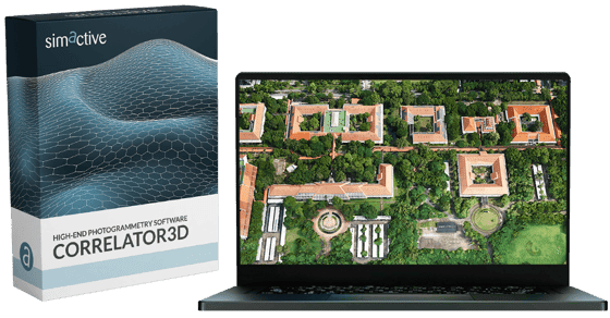
SimActive Inc., a leading developer of photogrammetry software, has released Version 10.4 of its Correlator3D platform. This new version gives users more control over 3D model creation, with advanced tools for both photogrammetry and LiDAR data.


Full Control for Diverse Workflows
Correlator3D Version 10.4 introduces a redesigned 3D modeling engine. It allows users to adjust a wide range of parameters during model generation. Unlike many black-box solutions, this version offers customization options that let users tailor results to match project-specific needs.
“This new version provides users with full control over the 3D model generation process, including customizable parameters for both photogrammetry and lidar-based workflows,” said Louis Simard, CTO at SimActive. “The revamped 3D modeling tools in Version 10.4 give our users unprecedented control over their outputs.”
Whether professionals are working with aerial images or LiDAR scans, the update allows them to manage the level of detail, optimize outputs for analysis, or prepare models for easy sharing.
Improved True Ortho Workflow
Version 10.4 also adds a new true ortho workflow. This update sharpens final orthomosaic outputs, improving both visual clarity and spatial accuracy.
“Whether working with imagery or lidar, they can now fine-tune the model to best suit visualization, analysis, or sharing requirements,” Simard added.
The improved ortho feature is particularly useful for users needing high-precision mapping in fields such as infrastructure planning, environmental monitoring, or emergency response.
About Correlator3D
SimActive’s Correlator3D is known for its high-speed processing of aerial data into accurate geospatial outputs. It supports data from drones, manned aircraft, and satellites. The platform is widely used by government agencies, engineering firms, and mapping professionals worldwide.
Correlator3D allows for the full workflow of geospatial data processing—from aerial triangulation and point cloud generation to orthomosaic creation and 3D model export. The software is designed to handle large datasets with speed and precision, making it a trusted tool in high-demand geospatial environments.
With the release of Version 10.4, SimActive continues to strengthen its offering for users seeking both automation and flexibility in photogrammetry software.
Read more:


Miriam McNabb is the Editor-in-Chief of DRONELIFE and CEO of JobForDrones, a professional drone services marketplace, and a fascinated observer of the emerging drone industry and the regulatory environment for drones. Miriam has penned over 3,000 articles focused on the commercial drone space and is an international speaker and recognized figure in the industry. Miriam has a degree from the University of Chicago and over 20 years of experience in high tech sales and marketing for new technologies.
For drone industry consulting or writing, Email Miriam.
TWITTER:@spaldingbarker
Subscribe to DroneLife here.

