


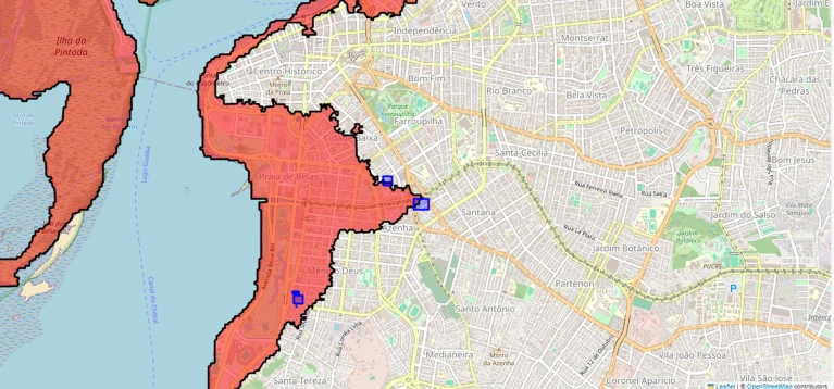
A map of past floods and risky spots can help residents to plan future potential evacuations.Credit: Arthur Musskopf da Luz
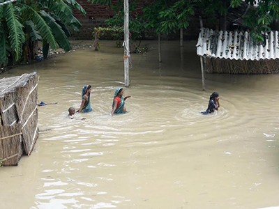
Brazil is no stranger to catastrophic floods and other natural disasters. In February, dozens of people died and hundreds lost their homes after heavy rains caused floods and landslides in the south-eastern state of Minas Gerais. In 2024, inundations across southern Brazil affected 2 million people and killed almost 200. Managing responses to such disasters is a collective duty — and a personal one. As the climate changes and extreme weather events become more frequent and intense, community members need to be able to understand risks and manage them for themselves.
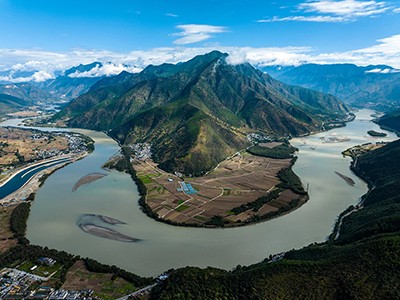
How a vast digital twin of the Yangtze River could prevent flooding in China
A tool is needed for community-level sharing of disaster information — information that everyone can navigate and rely on. Residents need to know what their risks are, how to spot early signs of a natural disaster and where to find reliable, local guidance on what to do.
To this end, Brazil is developing an artificial-intelligence agent that will provide climate-disaster information and advice for its residents. This is one of the first large-scale national initiatives to integrate AI, simulations and citizen participation into a tool for disaster preparedness aimed at individuals. It is shepherded by the National Institute of Science and Technology in Simulation and Monitoring for Individual Assistance in Extreme Climate Events (INCT-SIM-AI).
For each household, the tool will store data, including an address and any particular needs relating to potential evacuations. These will be combined with public data through each state’s emergency-management agency to provide residents with accurate and up-to-date information.
Developing such a tool is a human challenge as much as a technical one. No community is homogeneous: people differ in terms of their social, economic and educational conditions, and in how they trust technology and interpret warnings. Scientists must listen to local people and communicate clearly with them.
Climate change and geopolitics threaten water supplies — but disaster is not inevitable
And so, in July 2025, the government launched an interdisciplinary institute to bring together researchers, throughout Brazil and from abroad, in computer science, AI, psychology and social sciences, with 11 million reais (US$2 million) of investment over five years. A preliminary tool (see go.nature.com/3nhghco) provides information about the 2024 flood in Porto Alegre. A pilot is expected later this year. It will work as a ‘Google Maps from the past’, which residents can use to look at water levels for a specific address and date. Providing access to data on past disasters is the first step towards informing people about how rain and floods can affect the places where they work and live.
The project has three pillars.